Austria · Hairpins · High alpine · Smooth surface
Grossglockner High Alpine Road
Großglockner Hochalpenstraße
- Length
- 48 km30 miles
- High point
- 2,504 m8,215 ft
- Driving time
- 1.5–2.5 hours
- Season
- Early May to early November
- Toll
- Toll road (day ticket per car)
- Country
- Austria
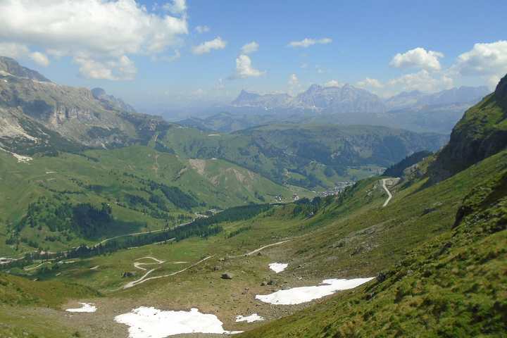
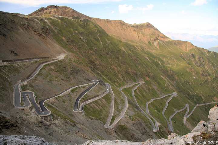
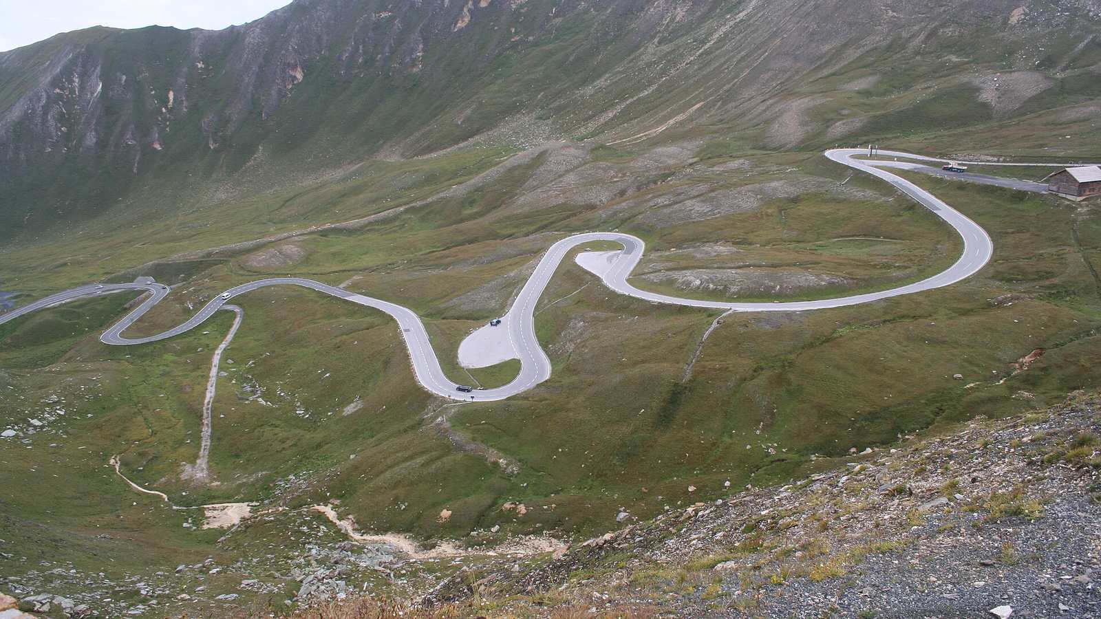
Austria's showpiece mountain road runs 48 km from Fusch to Heiligenblut through the Hohe Tauern National Park, with 36 numbered hairpins and a high point of 2,504 m at the Hochtor tunnel. It is a toll road, and the money shows: the surface is immaculate, the corners are properly cambered, and there are generous places to stop.
The drive
The main road is a flowing, well-sighted climb with wide hairpins you can take at a sensible pace without using the other lane. Two spurs are worth the detour. The Edelweißspitze is a narrow cobbled climb to 2,571 m, the highest point you can drive to. The Kaiser-Franz-Josefs-Höhe spur ends at a viewing terrace over the Pasterze glacier and the Grossglockner itself.
Because the toll is a day ticket, it makes sense to drive it in both directions. North to south in the morning puts the light on the big peaks; the return run in late afternoon is usually much quieter.
In your Porsche
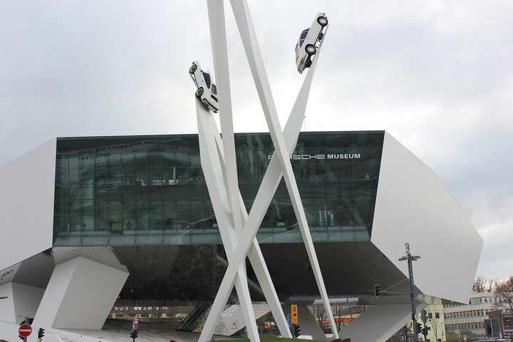
This is Porsche's home pass. The first 356 was built in 1948 at Gmünd in Carinthia, on the far side of these mountains, and the family estate is at Zell am See, a few kilometres from the northern toll gate. Porsche has used the road for testing since those early years, and prototypes are still seen here. The smooth surface suits stiff suspension and low front splitters, and the long third-gear sections between hairpins let a flat-six stretch out. The cobbles up to the Edelweißspitze are slippery when wet.
Watch out for
- The road is closed overnight; opening hours shorten in spring and autumn.
- Marmots and photographers both wander onto the road near the lay-bys.
- Weather at 2,500 m can turn to snow in any month. Check the webcams on the official site.